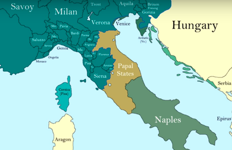
These maps show the changing medieval borders of the states found on the Italian peninsula.
The first, created by Historical Mapping, follows the timeline 477 to 2017.
The second map was created by Ollie Bye, and starts in the year 552, following the fall of the Ostrogothic Kingdom, and continues to 2016.
Turning our focus to the borders of various states within medieval Italy, EmperorTigerstar offers this look at the Papal States:
This Youtuber has also created a video looking at the political development of Sardinia:
Khey Pard has created this video showcasing the Republic of Venice:
Potato’s Video mapping offers this look at the Norman conquest of Naples and Sicily:
Finally, we return to EmperorTigerstar, who created this video showing the course of the the Italian Wars, covering the years 1494 to 1559:
Subscribe to Medievalverse
Related Posts